The focus of City Eco Lab was on live projects from the city-region – but we wanted to place these in the context of the bigger picture.
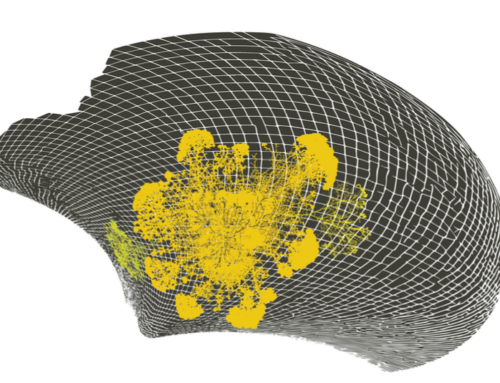
We therefore invited The Why Factory, from TU Delft in the Netherlands, to present their “Green Dreams” maps in our Salle des Cartes (Maps Room). The project was led by Pirjo Haikola, researcher and lecturer at (T?F).
The map beow, for example, shows livable and unlivable areas n 2100; it’s by Pauline Marcombe and Adi Utama.
And the image below shows a proposal for a Hanging Gardens of Barcelona; it’s by Magnus Svensson and Nicola Placella.
These maps focused on global and large scale urban view of sustainability. They compared strategies and their impacts on global and urban scale and looked at the big picture numbers. What is the effect of green buildings in an urban scale? How ‘green’ are cities today and how green should they be? Would it be possible to provide electricity for the whole world with renewable sources? What would an urban plan integrating renewable electricity generation be like? Is it possible to grow enough food inside the city boarders for all the inhabitants and how would that transform the city?
The Why Factory is a research group founded by Prof. Winy Maas, MVRDV, Delft School of Design and Delft University of Technology.


